
Ethiopia Uses Satellite Data to Track Green Legacy Plantings
Ethiopia’s geospatial institute is using satellite technology to monitor where Green Legacy seedlings are planted, land coverage and whether plantings take root.
In short
- Ethiopia’s geospatial institute is using satellite technology to monitor where Green Legacy seedlings are planted, land coverage and whether plantings take root.
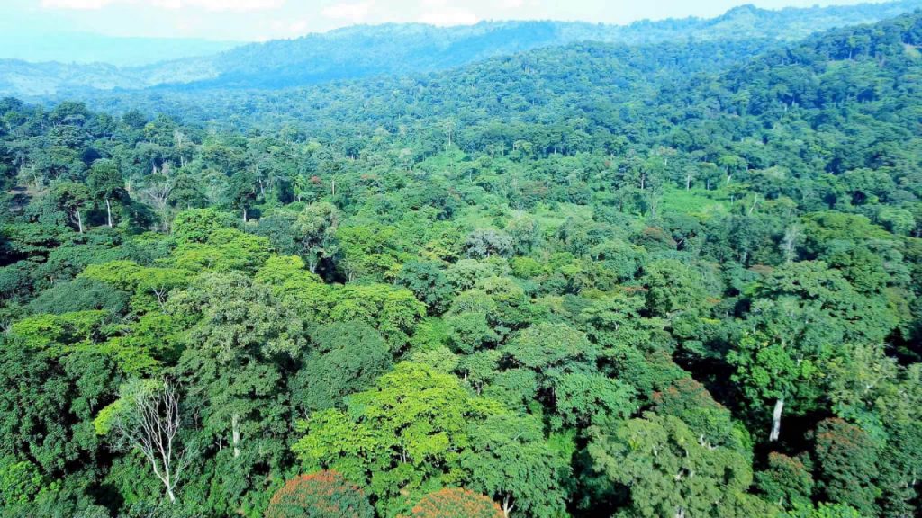
Ethiopia is increasingly using satellite and geospatial technology to monitor its Green Legacy Initiative, shifting attention from the number of seedlings planted to where planting occurs and how well it succeeds.
The Ethiopian Space Science and Geospatial Institute is tracking planting locations, the amount of land covered and indications that seedlings are taking root, according to an official report published on August 10, 2026.
The monitoring approach is intended to provide more precise evidence about the results of the national tree-planting campaign. The source report did not provide a new nationwide survival rate, so the effectiveness of the latest plantings cannot yet be quantified from the available source item.